Every city is already a 3D model. It is just scattered across a few million OpenStreetMap edits and an elevation tileset, and nobody can hold it.
GeoFilament is the part in between. You frame any square on Earth, it builds the model in your browser, and you download a file your printer understands.
What is actually happening
- Buildings, roads, water, parks and woodland come straight from OpenStreetMap.
- The hills are real elevation data — with the buildings subtracted back out of it, so a riverside quay prints as a wall rather than as a staircase of rooftops the terrain model mistook for ground.
- Everything is meshed at a fixed 1:5,000, so any two cities are directly comparable.
- It comes out as one watertight body in four filaments — sand, white, blue, green — that an AMS or CFS prints in a single pass.
There is no backend. The map fetch, the elevation, the meshing and the 3MF/STL/OBJ export all run client-side, in the tab. A model is a URL, so sharing one hands somebody a recipe that rebuilds the same plate rather than a file that goes stale the next time the exporter changes.
One plate prints as a single body with no supports and no glue. Larger models are a grid of plates, and those are glued along their seams — which the pipeline plans for, so a building the grid cuts prints at one height on both plates.
Press kit
Everything below is free to use when writing about GeoFilament. There is nothing in the audio to clear: the launch film and the how-to reel are scored by an oscillator bank written for them, the frame, monument, settings and Saxen reels’ beds and the intro film’s are generated and carry an inaudible watermark saying so, and all six are read by a synthetic voice. The models themselves are produced works of OpenStreetMap data and carry its credit.
- Promo film — square (1080×1080)12.4 MB
LinkedIn, X, Facebook and Instagram feed. 33 s, H.264 + AAC.
- Promo film — vertical (1080×1920)13.3 MB
Reels, Shorts, TikTok and Stories. The same cut, framed for a phone.
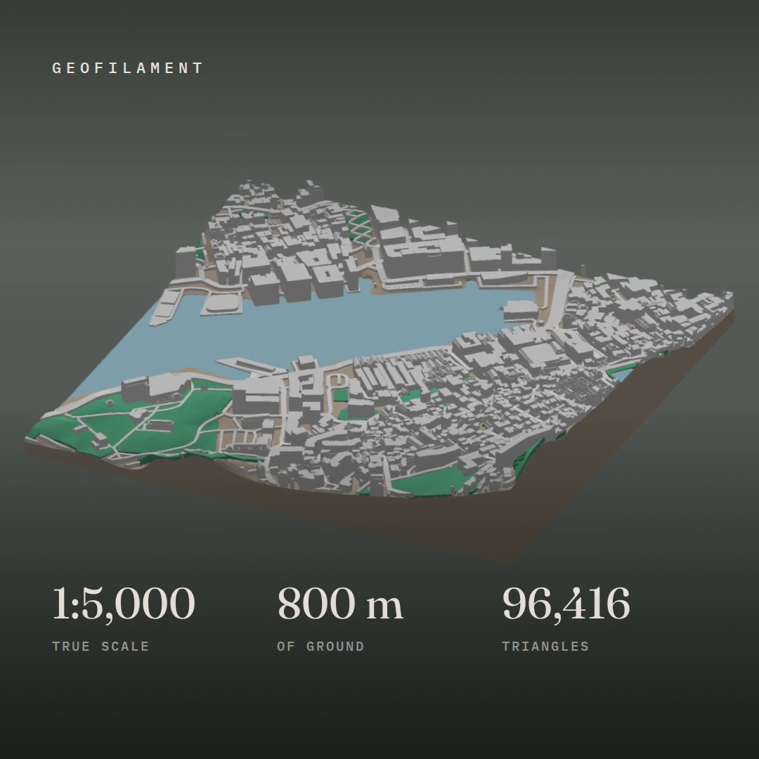
- Poster — square428 kB
The frame a feed shows before playback starts.
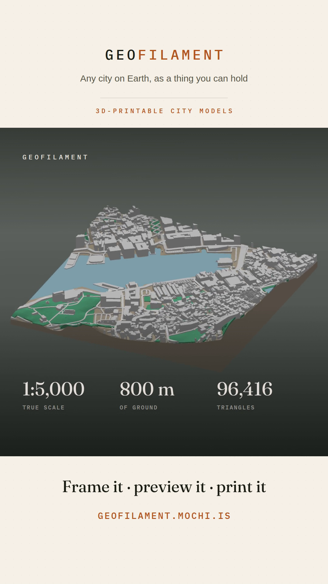
- Poster — vertical578 kB
The same, for the 9:16 cut.
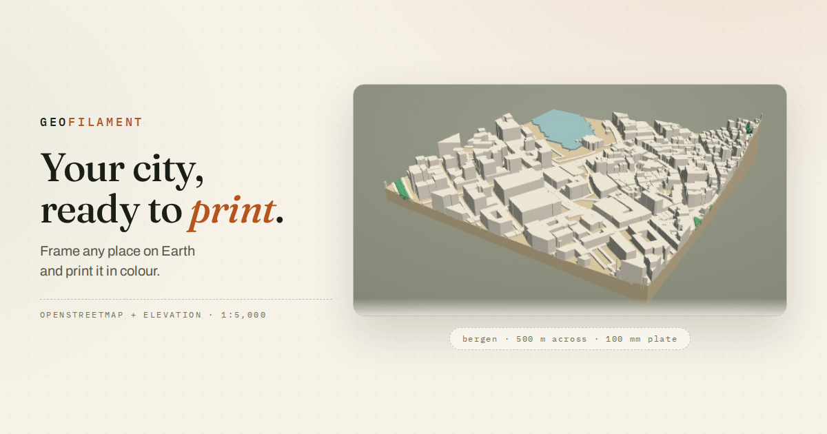
- Share card (1200×630)327 kB
What a link to the site unfurls as. Also the og:image every page carries.
- How-to reel — square (1080×1080)3.8 MB
The six steps in 20 s, for a feed. Shorter and more explanatory than the film above.
- How-to reel — vertical (1080×1920)4.3 MB
The same cut, framed for a phone: Reels, Shorts, TikTok and Stories.
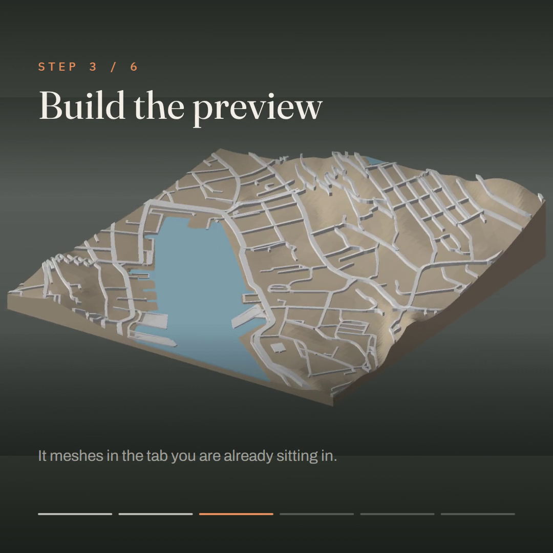
- How-to reel poster — square51 kB
The frame a feed shows before the reel starts playing.
- How-to reel poster — vertical615 kB
The same, for the 9:16 cut.
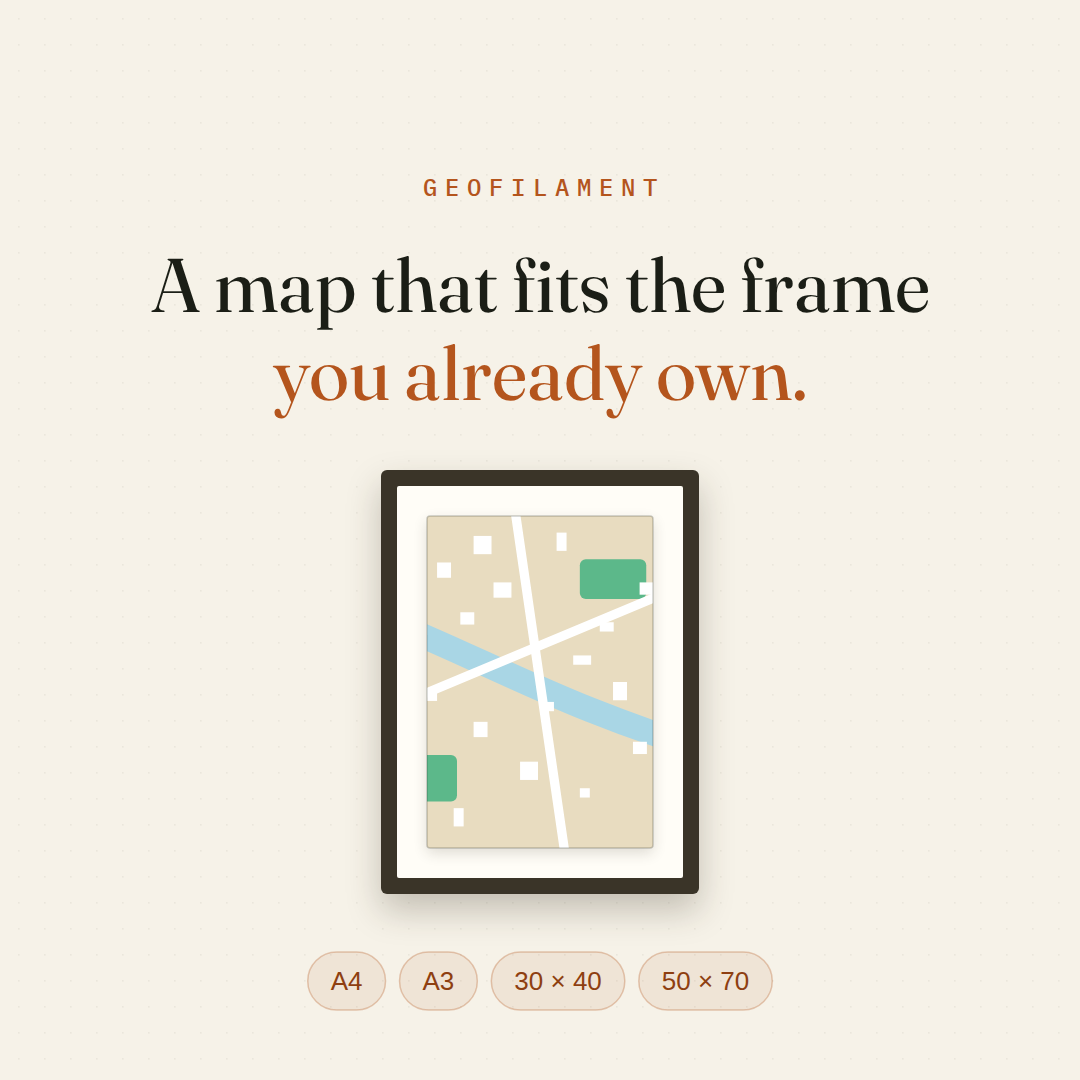
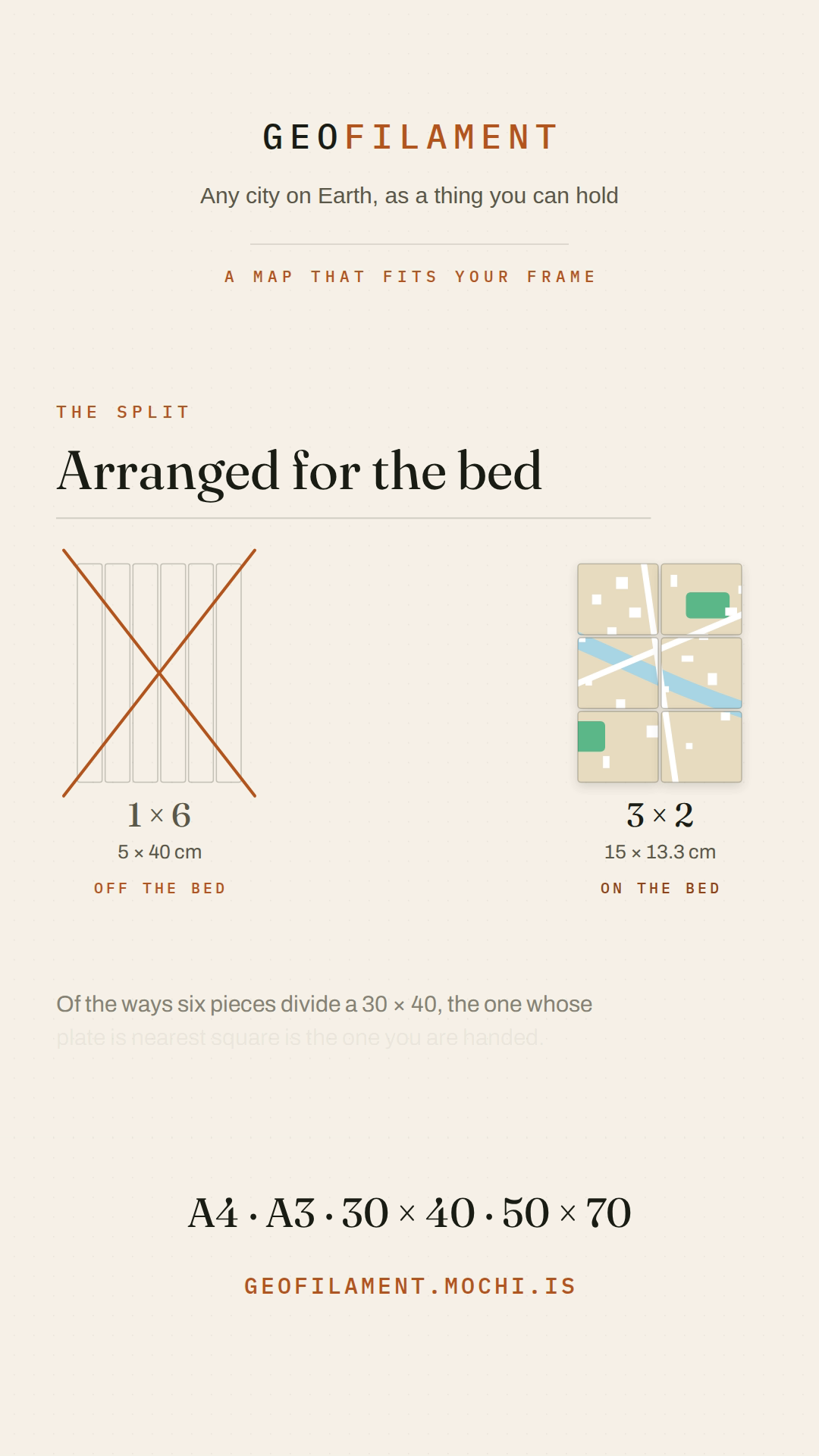
- Frame reel — square (1080×1080)3.5 MB
Why a print is a rectangle now, in 24 s. The film of the sizes post.
- Frame reel — vertical (1080×1920)4.1 MB
The same cut, framed for a phone.
- Frame reel poster — square62 kB
The opening card, which is the frame a feed shows before playback.
- Frame reel poster — vertical160 kB
The same, for the 9:16 cut.
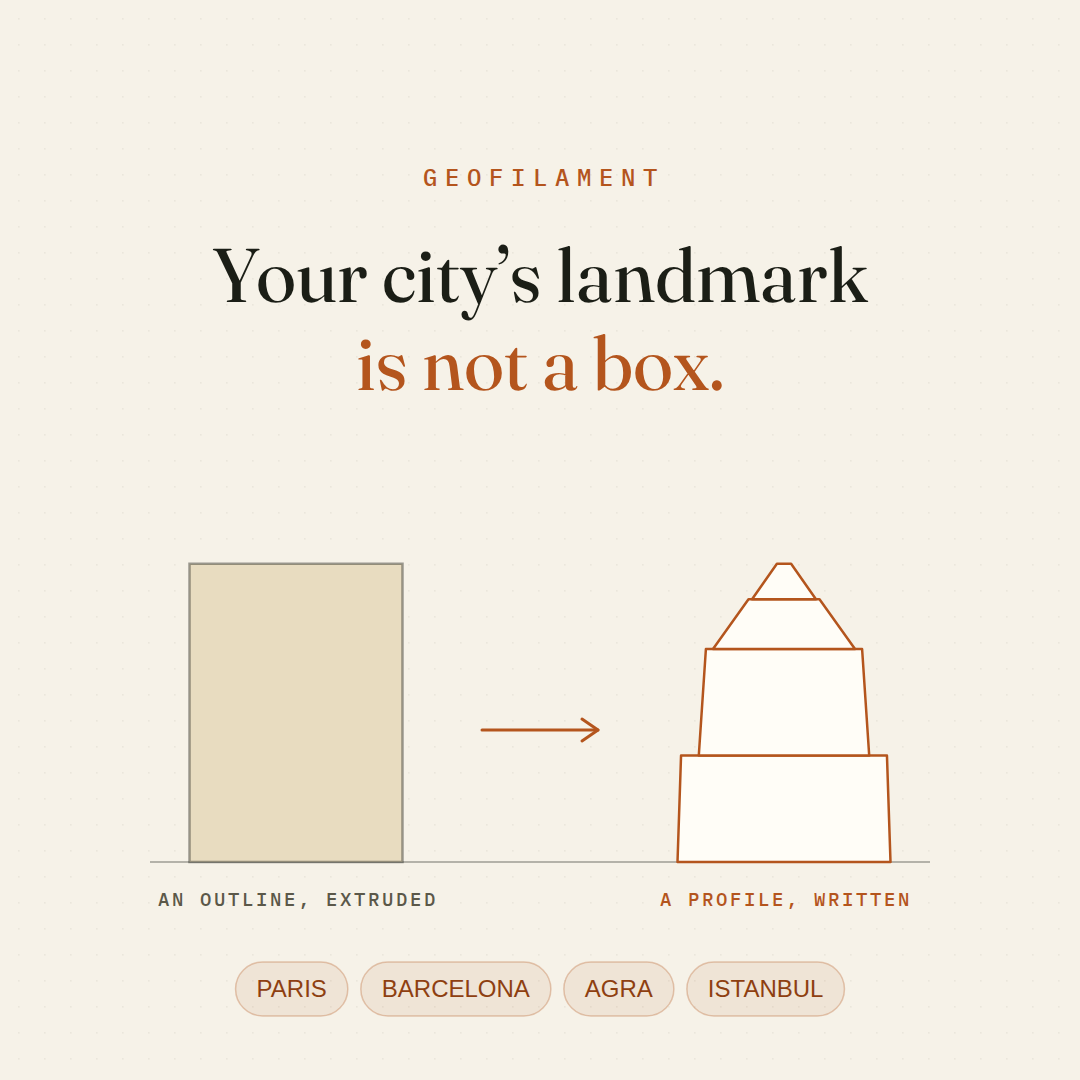
- Monument reel — square (1080×1080)4.1 MB
Why a landmark prints as a block, and what is drawn instead. 26 s.
- Monument reel — vertical (1080×1920)4.7 MB
The same cut, framed for a phone.
- Monument reel poster — square56 kB
The opening card, which is the frame a feed shows before playback.
- Monument reel poster — vertical386 kB
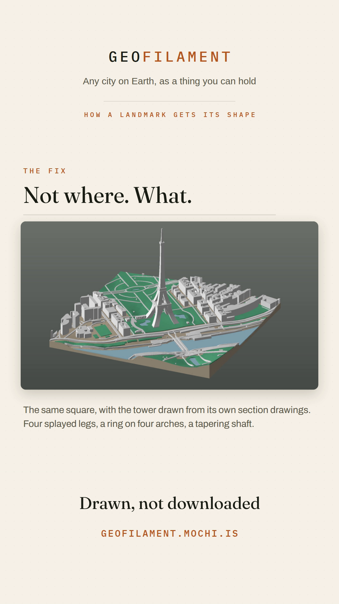
The Eiffel Tower on a real plate of the Champ de Mars, for the 9:16 cut.
- Saxen reel — square (1080×1080)3.7 MB
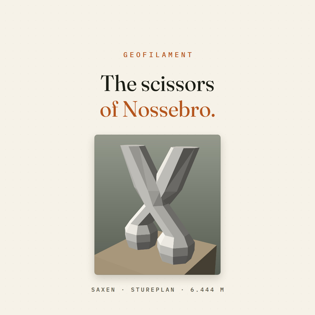
A landmark the map has as a point, and the glyph drawn instead. 30 s.
- Saxen reel — vertical (1080×1920)4.4 MB
The same cut, framed for a phone.
- Saxen reel poster — square95 kB
The opening card, which is the frame a feed shows before playback.
- Saxen reel poster — vertical346 kB
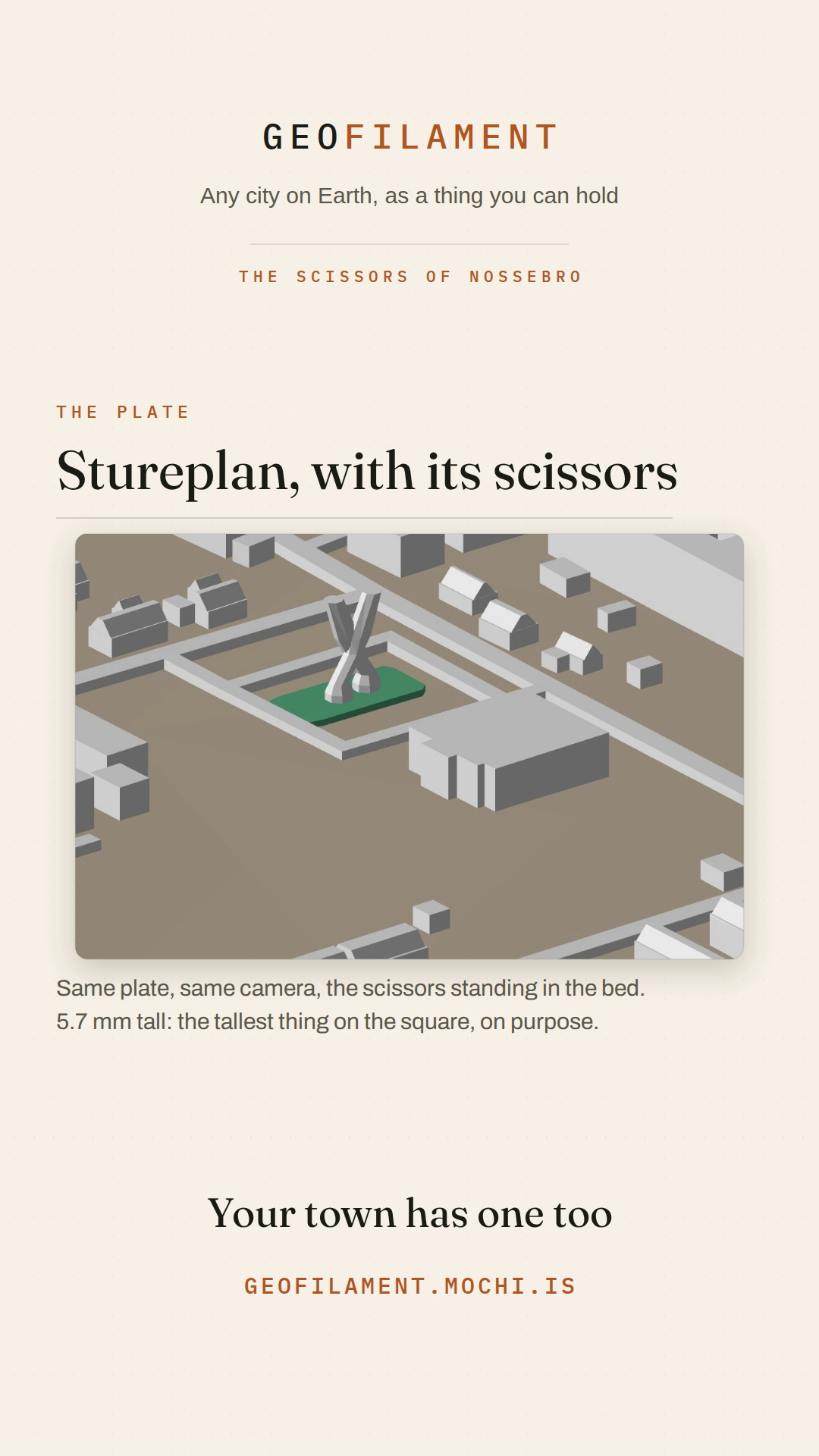
The scissors standing in their bed on a real plate of Stureplan, for the 9:16 cut.
- Settings reel — square (1080×1080)4.0 MB
What to set in the slicer, and what the file has already settled. 29 s.
- Settings reel — vertical (1080×1920)4.9 MB
The same cut, framed for a phone.
- Settings reel poster — square57 kB
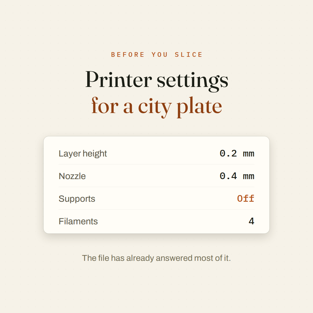
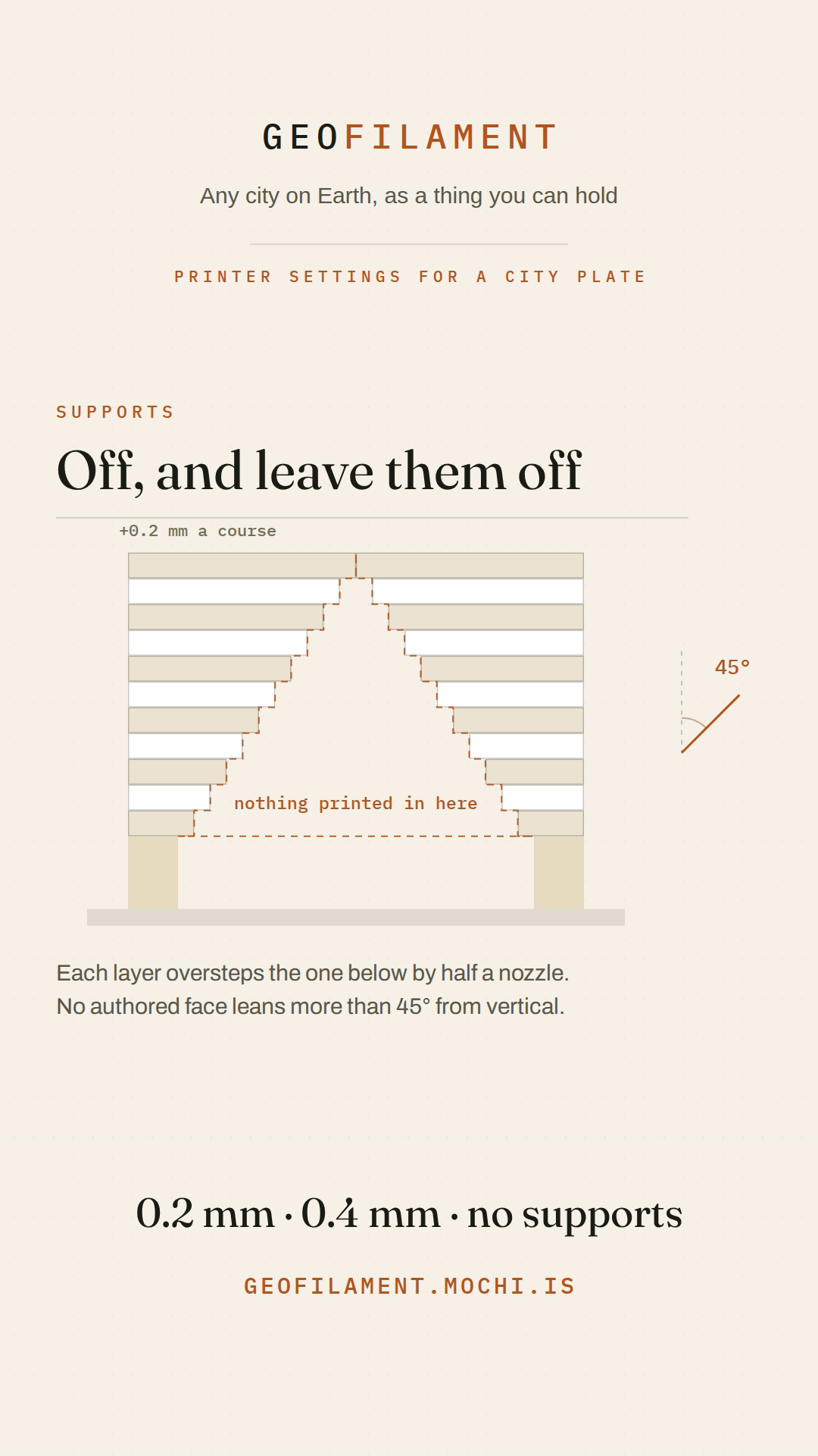
The opening card: the four settings, already filled in.
- Settings reel poster — vertical143 kB
The arch closing over air — why supports stay off — for the 9:16 cut.
- Intro film — square (1080×1080)3.4 MB
What GeoFilament is, in 16 s: the film the landing page opens with. Frame it, build it, print it.
- Intro film — vertical (1080×1920)3.8 MB
The same cut, framed for a phone.
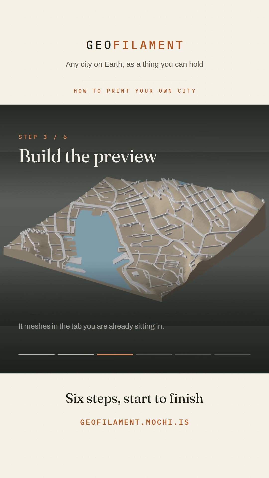
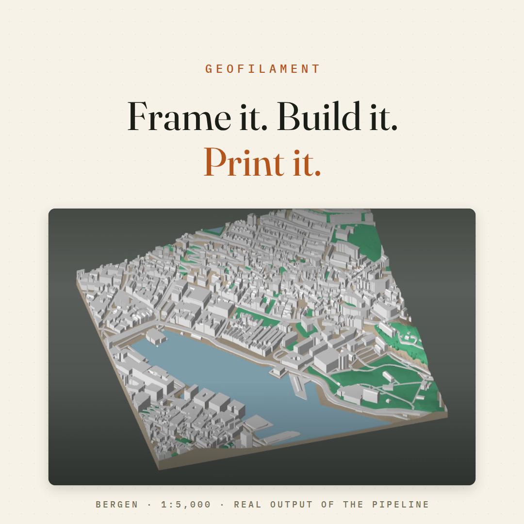
- Intro film poster — square417 kB
The opening card — the finished Bergen plate under the wordmark — which is also the hero’s cover.
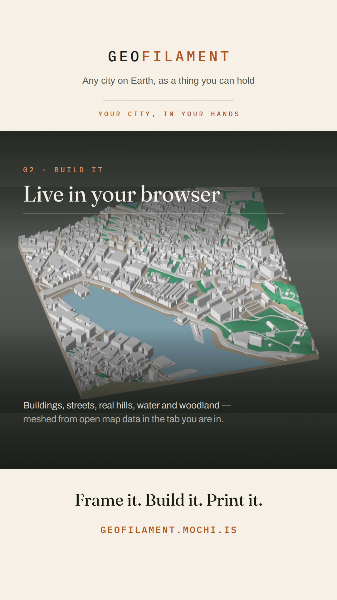
- Intro film poster — vertical740 kB
The plate at the end of the build beat, full-bleed, for the 9:16 cut.
29 files · 79.0 MB in all
Copy, if you want it
Long — LinkedIn
Upload the square film natively; the first two lines are what shows before “…see more”.
Every city is already a 3D model.

It is just scattered across a few million OpenStreetMap edits and an elevation tileset, and nobody can hold it.

So I built GeoFilament. You frame any square on Earth, it builds the model in your browser, and you download a file your printer understands.

What is actually happening in the clip:

→ Buildings, roads, water, parks and woodland come straight from OpenStreetMap
→ The hills are real elevation data — with the buildings subtracted back out of it, so a riverside quay prints as a wall rather than as a staircase of rooftops
→ Everything is meshed at a fixed 1:5,000, so any two cities are directly comparable
→ It comes out as one watertight body in four filaments that an AMS or CFS prints in a single pass

There is no backend. The map fetch, the elevation, the meshing and the export all run client-side, in the tab. A model is a URL, so sharing one hands somebody a recipe that rebuilds the same plate rather than a file that goes stale.

The plate in the video is Bergen — real geometry from the production pipeline, not an illustration of one.

247 cities are already in the gallery. Yours probably is not. That takes about a minute to fix.

geofilament.mochi.is

Map data © OpenStreetMap contributors (ODbL)
Short — X, Threads, Bluesky
Every city is already a 3D model — it is just scattered across a few million OpenStreetMap edits and an elevation tileset.

GeoFilament turns any square on Earth into a print-ready multi-colour model, meshed in your browser at a true 1:5,000. No backend, no account, no upload.

This is Bergen.

geofilament.mochi.is
Caption — Instagram, TikTok
Any city on Earth, as a thing you can hold.

Frame a square, and GeoFilament builds it live from open map and elevation data — terrain, water, roads, parks, trees and every building — then hands you a multi-colour 3MF your printer takes straight to the plate. Four filaments, one continuous body, no supports.

This is Bergen at 1:5,000. 247 more cities are in the gallery, and yours takes about a minute to add.

geofilament.mochi.is
Map data © OpenStreetMap contributors (ODbL)
One line
For a directory entry, a newsletter blurb or an app-store subtitle.
GeoFilament turns any place on Earth into a print-ready, multi-colour 3D city model — built in your browser from open map and elevation data.