Monuments ·
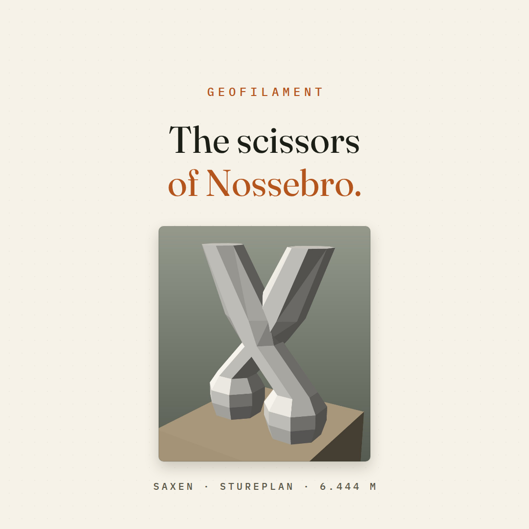
The scissors of Nossebro
Nossebro built the world’s largest scissors; the map has them as a single point. How GeoFilament draws a landmark the data has no shape for, three times life.
Read it →Blog
Notes on turning open map and elevation data into something that comes off a printer — and the films, posters and copy anyone writing about GeoFilament is free to use.
Monuments ·
Nossebro built the world’s largest scissors; the map has them as a single point. How GeoFilament draws a landmark the data has no shape for, three times life.
Read it →Guide ·
What to set in the slicer for a GeoFilament plate, and what to leave alone: the nozzle, the layer height, four filaments, no supports, and gluing the plates.
Read it →Monuments ·
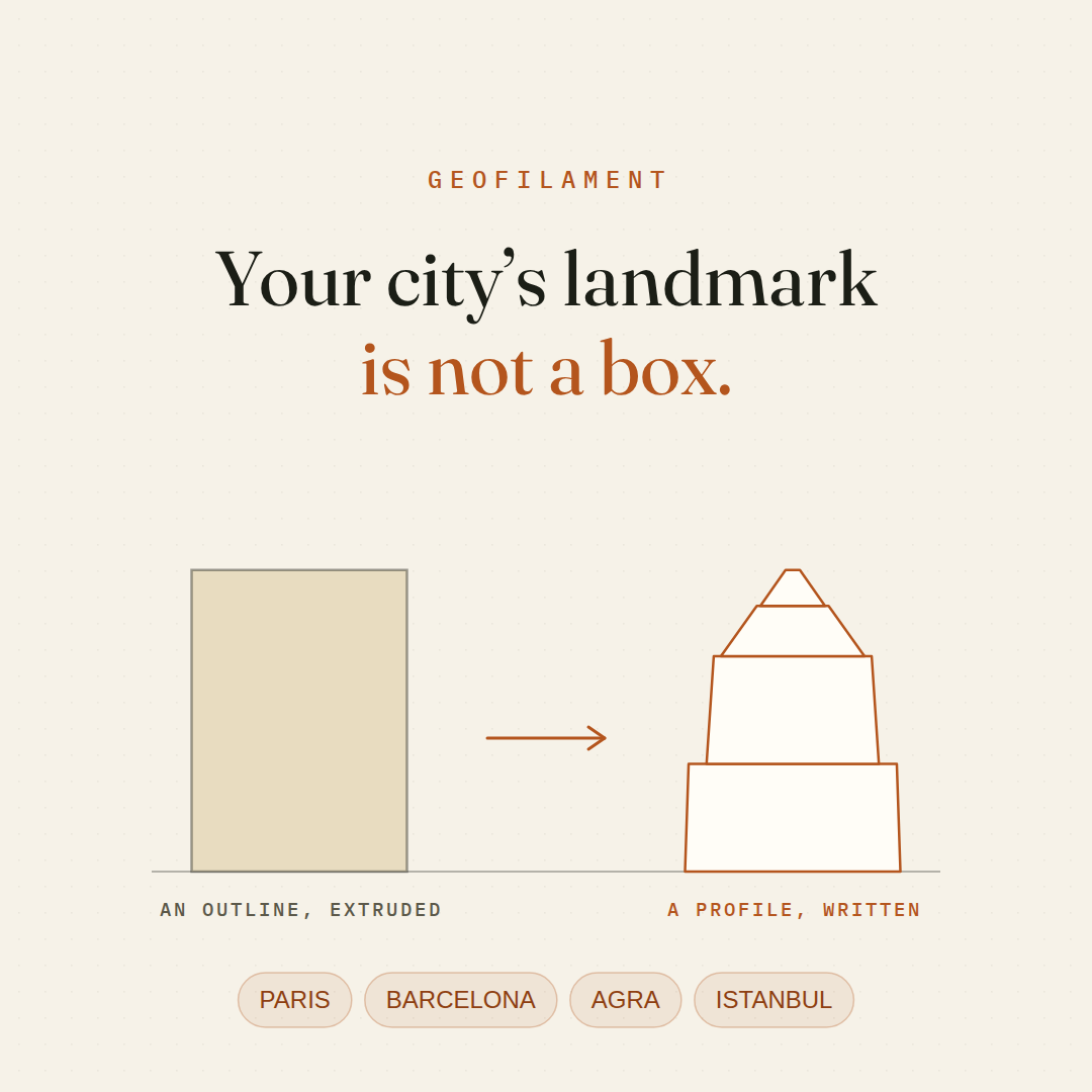
The map knows where the Eiffel Tower stands, not what it looks like. How GeoFilament draws the monuments a city is recognised by, so they print as themselves.
Read it →Sizes ·
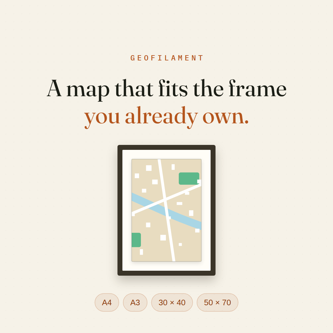
GeoFilament prints to a finished size now — A4, A3, 30 × 40, 50 × 70 — and works out the plate layout that fits your printer’s bed.
Read it →Guide ·
GeoFilament makes a 3D-printable model of any place on Earth. Here is the whole run, from framing a square on the map to gluing the plates together.
Read it →Launch ·
How GeoFilament turns any square on Earth into a print-ready multi-colour 3D model, meshed in your browser from open map and elevation data — plus the press kit.
Read it →