Gallery Oxford
3D-printable model of Oxford
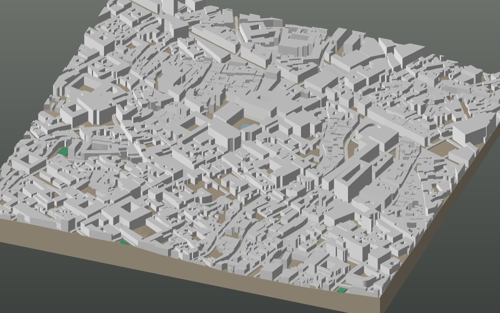
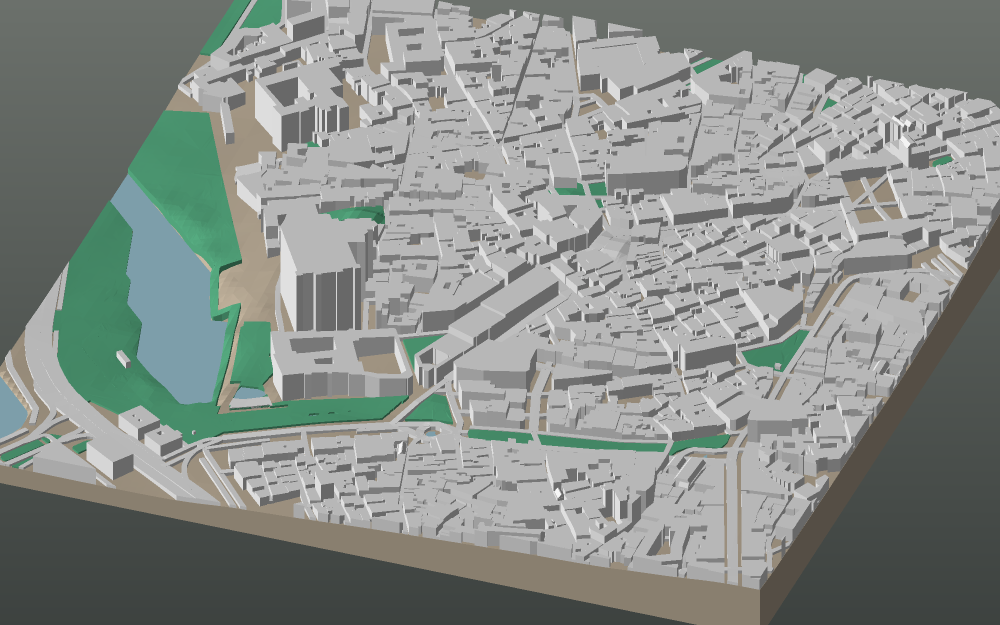
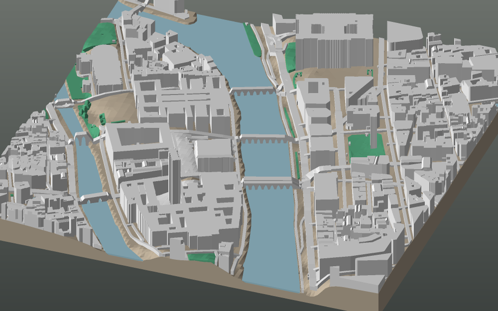
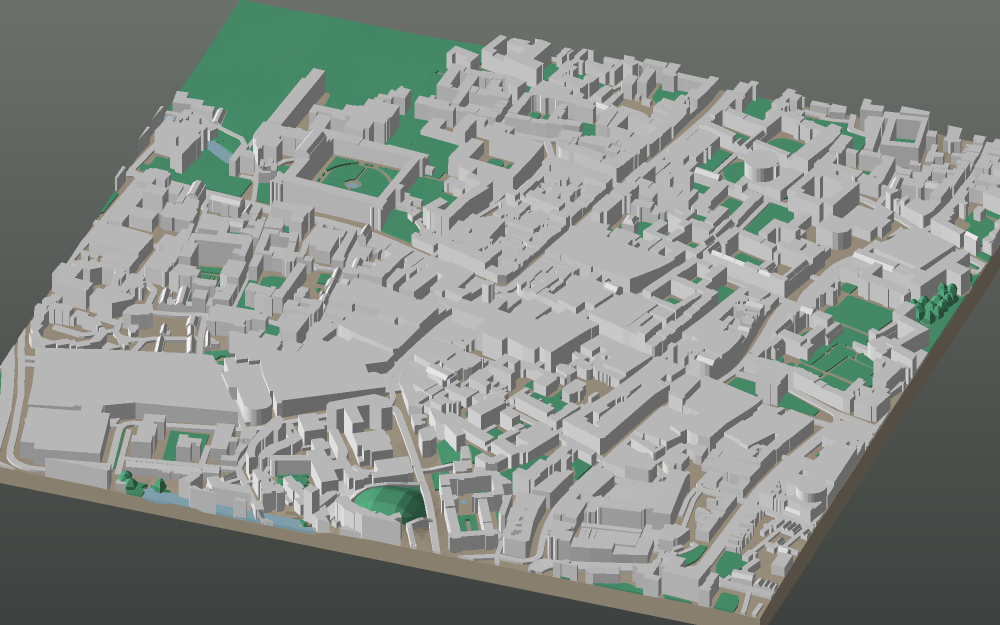
City Centre — 800 m of ground on a 160 mm plate, at 1:5,000. Buildings, streets, water, woodland and the real terrain under all of it, from OpenStreetMap and open elevation data.
- Buildings
- 1,055
- Tree canopies
- 20
- Relief across the frame
- 17 m
- Triangles
- 90,704
How Oxford compares
Every city in the gallery is drawn on the same 160 mm plate holding the same 800 m of ground, so the numbers above are worth comparing. Against the rest of the gallery, this frame is:
- 1,055 buildings — more built up than 75% of the other 246.
- 17 m of fall across the frame — flatter than 76% of the other 246.
The link above opens the studio already framed on City Centre. Nothing is fixed: move the map, change the plate size, turn the frame to the view you know, switch the water or the woodland off. Map data © OpenStreetMap contributors, licensed under the ODbL.